
Kenya 2021
Tana River Basin & Migori
The 'Long Rains' began in early April, producing widespread localized flooding. As the rains intensified, downstream discharges displaced over 27,000 residents and destroyed upwards of 3,000 acres of critical agricultural crops.
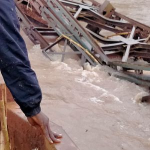
Physical Damage: High-velocity floodwaters eroded bank supports along the Kuja River, causing the complete collapse of the critical Kuja Bridge connecting Migori and Homabay Counties.


Timor-Leste 2021
Dili Capital Territory
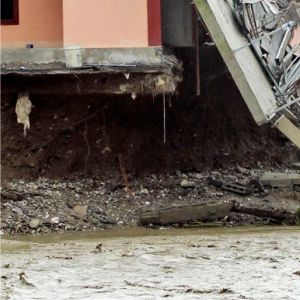
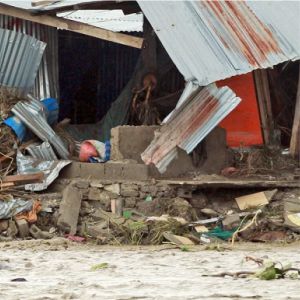
Heavy convective storms from March 29 to April 4 generated widespread surface floods across all administrative municipalities, leaving the low-elevation coastal capital Dili severely affected.
Humanitarian Toll: Upwards of 44 people lost their lives, and roughly 34,000 residents were directly displaced as high-velocity urban runoff tore through residential zones.

Malaysia 2021
Peninsular Malaysia (Pahang & Terengganu)
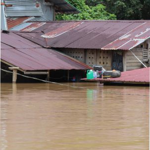
Widespread inundations across Peninsular Malaysia were triggered by highly concentrated monsoonal rainstorms starting on January 2. Pahang state experienced the highest spatial impacts, requiring the immediate evacuation of over 27,000 residents.
Exposure: Media outlets confirmed over 50,000 residents were severely exposed, with transportation lines chocked, and crop storage hubs submerged.


No events matched your search
Please adjust your filters or query terms.